


UAV (Drone) Services
UAVs (Unmanned Aerial Vehicles) are an exciting technology with many applications across the exploration and mining industry. The benefits of UAVs in exploration and mining include improved safety in a number of tasks, faster and lower cost than traditional methods, high level of accuracy especially when combined with ground control points and great for promotional videos and imagery.
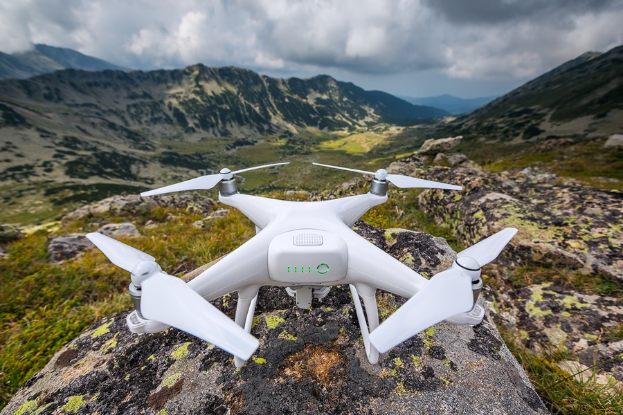
ACA Howe offer a comprehensive service encompassing survey planning, data acquisition, and data processing and interpretation, utilising a professional standard UAV with a 20 megapixel camera and the capability to film in 4k ultra high definition. Chris Boyd, Director and GIS Specialist of ACA Howe, is a trained commercial UAV pilot licensed by the Civil Aviation Authority.
ACA Howe's exploration and mining UAV surveys include:
- Acquisition of imagery for lithostructural interpretation by our Remote Sensing Geologists. This offers an alternative to obtaining satellite imagery and is particularly cost effective where existing imagery is not available. There are also certain areas where atmospheric conditions do not allow for the acquisition of clear, cloud free imagery by satellite.
- Acquisition of accurate elevation data, which can be integrated seamlessly into the GIS database. The data can be processed as point clouds, Digital Elevation Models (DEMs) and contours.
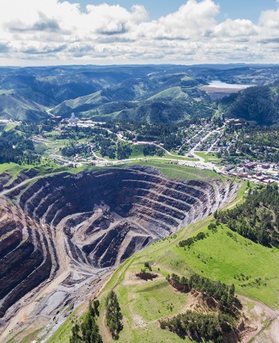
- Accurate volume calculations can be made in specialist UAV processing and interpretation software. This can be particularly useful in weekly and monthly reporting of tonnes mined and stockpile volumes. In addition, the volume of historical stockpiles and tailings can be estimated.
- Environmental monitoring of sensitive areas or specific events, including before and after photos and video, planning and risk identification, initial impact assessments and reclamation over time. Specific events can be monitored in order to document the spread of any contamination and measures put in place to minimise the impact of the event.
- Acquisition of high quality imagery and video for promotional purposes.
- Full integration of imagery and elevation data into your GIS database or further processing with our UAV or mining industry standard software.
© 2017 A.C.A. Howe International Limited